Friday 7th February 2025, 9:00am
Written by John Mitchell, Senior Operational Meteorologist at Met Office
In Part 1, we looked at why the weather in Scotland�s mountains can be so changeable; flipping from benign to hazardous, even life threatening, very quickly. In winter it is often at its most volatile, meaning for those venturing into the hills it is essential to plan around the weather and Be Avalanche Aware.
A specialised mountain forecast is essential. Scotland�s mountains and high plateaux can feel like another world in winter and often incomparable with the lower glens.
Flexibility is vital so avoid committing to rigid plans. Be prepared to plan around the weather by having route options. The Met Office mountain forecasts give you a feel for conditions over a wide area and at different heights to help you find when and where the best and worst conditions will be. You also benefit from the local knowledge of a meteorologist!
Planning should start several days ahead. By checking the forecast daily, you get a feel for the consistency in the forecast. If there is a good solid story for settled conditions you might want to plan something adventurous but if changeable and more uncertain you will want more options, including easier routes.
If possible, check the forecast on the day: our mountain forecasts are always updated before 7am. Forecasts sometimes change at short notice so have route options up your sleeve and be prepared to use them!
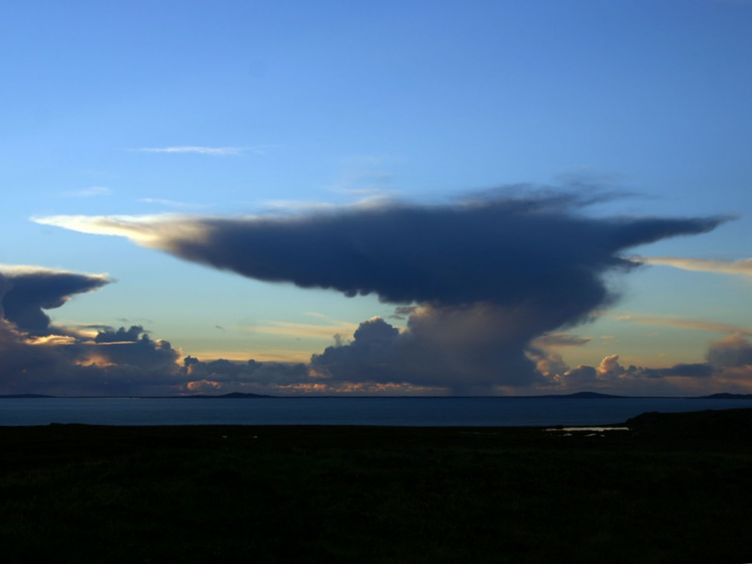
An approaching Cumulonimbus cloud over the Outer Hebrides. Credit: Chris Mitchell
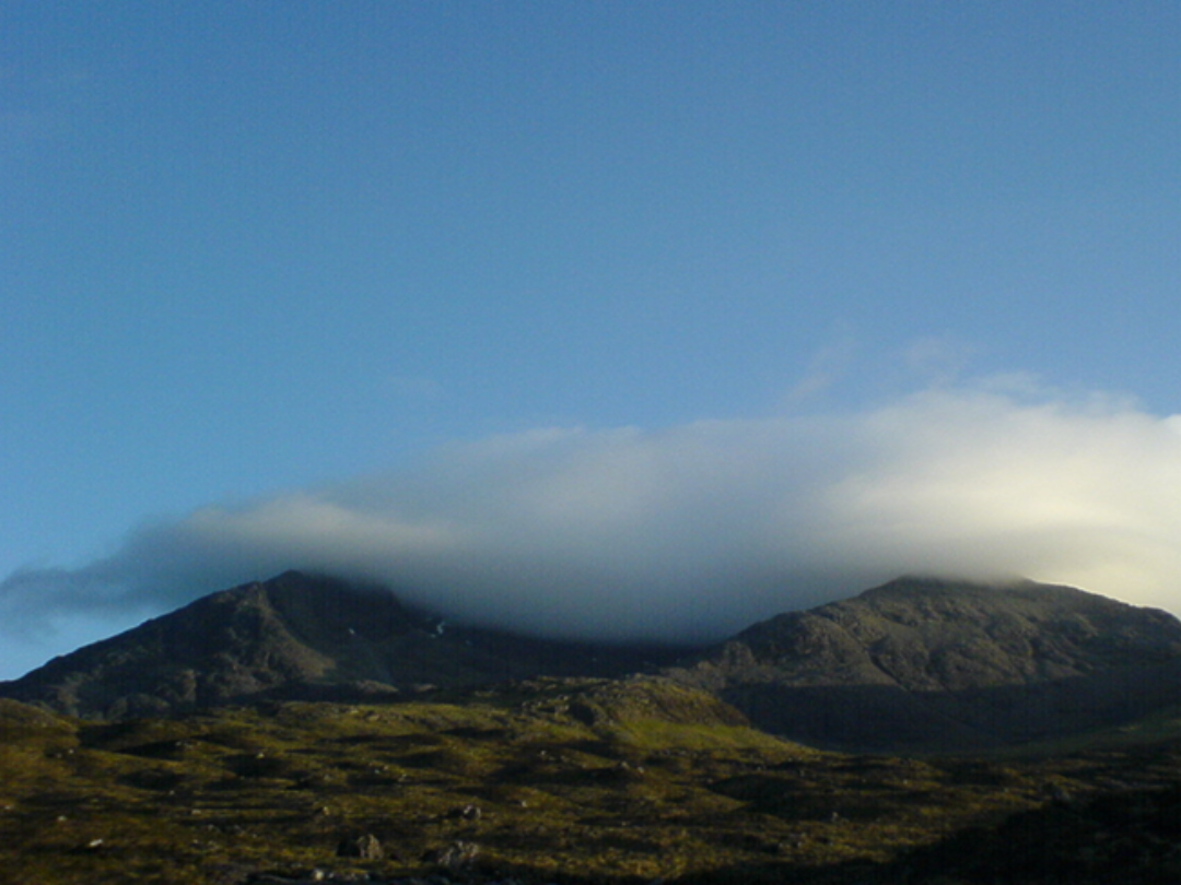
Orographic cloud forming over the Cuillin seen from Sligachan, Isle of Skye. A sunny day for most of the island but thick fog on the Cuillin ridge!
Thinking about weather should not stop once you are walking, scrambling, climbing or skiing. Regularly ask yourself; are conditions as expected and manageable within the capabilities of myself and my group?
Look up the mountain. Keep a close eye on conditions on higher ground before you get there. Is cloud just affecting the summit or covering larger areas of ground? How persistent is it? If things stay the same, do I have the right navigation skills, bearing in mind that paths (and lochs!) may be covered by snow and ice? You may also see clouds moving quickly over the tops or churning up in turbulent eddies on lee slopes or in corries. This indicates strong winds higher up.
Look at the sky. Clouds give us clues of changes in the weather. For example, thickening Altostratus often means a warm front is approaching. A Cumulonimbus cloud with a flat, anvil-shaped top can indicate impending heavy rain, snow, hail, gusty winds, or possibly lightning. A subtle increase in humidity can be enough for orographic stratus clouds to appear from nowhere, as air rises up the windward side of the hill. This may eventually engulf you and the entire mountain in fog!
Look at the terrain. The shape of hills and mountains has a big influence on wind speeds. Imagine water in a stream; it speeds up as it passes through narrow sections and wind behaves the same. For example, cols or gaps in ridges are very effective at funnelling winds, often generating speeds greater than at higher altitudes. Also, winds blowing perpendicular to a ridge will often be much stronger as they pass over the top. In a similar way to water flowing over a weir, in a strong and stable airflow (often found around the edges of a high pressure area), high plateaux and rounded summits can accelerate winds dramatically. As good as forecast models are, it is impossible for them to resolve every feature so be aware of these local effects.
In summary, proper planning and remaining flexible according to the weather are key to enjoying the hills and mountains at their finest.
Thanks to Mike Reading, Met Office Aberdeen, for his useful input.
© 06/0 Mountaineering Scotland
ClimbScotland is a registered trademark of the Mountaineering Council of Scotland Limited
Mountaineering Scotland is a registered trademark of the Mountaineering Council of Scotland Limited